Can forest fires be predicted? How drones, data and computer science are being used in western Canada

Share
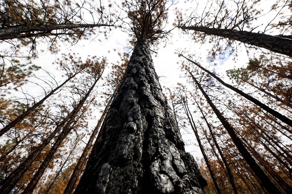
Where there’s smoke, there’s fire—and with tools ranging from fire tower lookouts to satellites, a forest fire can be readily detected.
But what if we could easily predict where a forest fire will occur before the smoke appears? That’s the goal of Michal Aibin, a visiting associate teaching professor in the Khoury College of Computer Sciences at Northeastern University’s campus in Vancouver, British Columbia.
“Currently when we think about forest fires, and all the research that is happening around the world … the majority of the work—like 90 percent of the work—focuses on the detection of the fire,” Aibin says. “But obviously when we’re detecting the fire, it means the fire is already there … we want to predict the fires in the area.”

Aibin and his team in Vancouver have developed a computer vision algorithm that assesses and classifies forests according to their fire risk. This enables foresters to see the most at-risk areas and preemptively direct appropriate fire-prevention efforts.
“Our goal is to provide as much information as possible, so they can implement prevention strategies—maintain the forest, do cleanup of debris, maybe a controlled cutting … and in the event of a fire, this fire won’t spread that far or won’t be as devastating as if that fuel was there,” Aibin says.
It’s a “timely project,” Aibin says. Roughly 1,800 forest fires burned 135,000 hectares (a hectare contains roughly 2.5 acres) in Canada last year, costing $650 million, Aibin says. Worldwide, fires cost about $50 billion a year, according to the World Economic Forum.
That acreage and cost is likely to increase as the climate changes, cycles of drought become more extreme and carbon is released by wildfires. The WEF said wildfires released an estimated 645 million tons of carbon dioxide into the atmosphere in 2021.
“It’s become challenging more and more every year,” Aibin says. “Because of (fires) we release more carbon in the air and then the climate gets warmer, so it’s a kind of loop that we need to break.”
It’s also not just the forests or grasslands that are affected. Aibin says smoke from forest fires can travel long distances and degrade air quality, exacerbating human respiratory problems such as asthma.
But Aibin’s work occurs before the smoke starts to rise.
He uses a drone to scan woodland areas, collecting data such as the amount of flammable debris in the area, the species of trees and their respective flammability, the proximity of water sources, areas with diseases that weaken the trees and more.
The information is put into a mapping program which then displays the forest and assigns different color-coded classifications based on its flammability risk—from low to extreme.
That information is then made available to foresters who can see the most fire-prone areas, learn why that area is particularly risky, and direct mitigation and prevention strategies.
So far, Aibin has focused on forests near the Thompson River in British Columbia, working with Natural Resources Canada and Transport Canada (government departments responsible for natural resources including forests, and transportation in Canada, respectively) to collect and analyze data.
But he sees a worldwide application for the program, and is working on expanding the amount and type of risk factors that it analyzes to make it more geographically specific.
“Expand, expand—get more data, more tree species, more risk factors involved, and get a system that can be applied in British Columbia, all of Canada, the States, and finally globally,” Aibin says.
He also hopes his computer science students can be inspired to apply their skills beyond traditional programming.
“We can make a difference, we can make an impact,” Aibin continues. “Not only learn these computing skills to be a programmer or tester or designer, we teach those skills, but also with that role comes the responsibility to make an impact in the world.”
Cyrus Moulton is a Northeastern Global News reporter. Email him at c.moulton@northeastern.edu. Follow him on Twitter@MoultonCyrus.