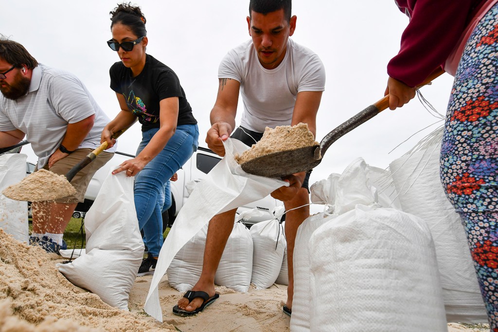
Is Tampa prepared for the devastating impact of Hurricane Milton?

As Hurricane Milton barrels toward central Florida, Northeastern University disaster recovery experts say residents should expect extensive destruction from the storm and its surge — particularly if Tampa is hit directly.
“Tampa is the most vulnerable place,” says Q. Jim Chen, professor of civil and environmental engineering and marine and environmental sciences at Northeastern.
Chen explained that the wide continental shelf off the west coast of Florida means that wind can easily whip up shallow water and push it into Tampa Bay, which also is shallow, and only exacerbates the surge.
Moreover, the developed coastline around the bay — metro Tampa is home to 3.5 million people — means that much infrastructure will be susceptible to the surge.

The unrepaired recent damage from Hurricane Helene also doesn’t help.
“If they don’t remove that debris, it becomes even more dangerous — like weapons actually,” Chen says. “Missiles are going to be moving everywhere.”
Daniel Aldrich, professor of political science and public policy at Northeastern, and co-director of the Global Resilience Institute at the university, says the amount of mis- and disinformation around the Helene response also puts residents at risk.
“There’s an active disinformation campaign going on right now against processes that would normally be apolitical — they’re being politicized and therefore trust is being lost,” Aldrich says. “That’s a real problem because that means as FEMA says things, as people try to get things done, we have fewer and fewer people that might be able to listen to what is happening and, therefore, less cooperation with that kind of process.”
Meanwhile, “disaster fatigue” is setting in among donors to relief efforts, volunteers and others as Aldrich’s research shows the increasing frequency of multiple “shocks” in an area.
“We’re in a polycrisis, meaning there’s multiple things happening at the same time,” Aldrich explains. “Now the same disaster managers, the same evacuees, the same locals on the ground, have to deal with a shock.”

The National Hurricane Center said Tuesday that Milton had maximum sustained winds of about 150 mph and was moving across the warm waters of the Gulf of Mexico toward the Tampa area. The hurricane was a Category 4 storm.
“While fluctuations in intensity are expected, Milton is forecast to remain an extremely dangerous hurricane through landfall in Florida,” the hurricane center said.
The hurricane is expected to come ashore late Wednesday or early Thursday, bringing with it a storm surge of 10 to 15 feet. Meanwhile, the state of Florida has told residents to evacuate, even issuing mandatory evacuations for parts of Tampa Bay.
Critical infrastructure such as hospitals — and, most notably, hurricane shelters — have been reinforced with barriers for protection, Chen says, as the country has learned lessons from shelters during Hurricane Katrina in 2005.
But it is more difficult to reinforce on a regional scale.
That means homes, roads and bridges along the low-lying, developed coastline are at particular risk from the storm surge. Older infrastructure is also at greater risk, as building standards have been updated since Hurricane Andrew made landfall in 1992.
But unlike with Helene, rainfall is expected to be less of a problem with Milton.
“People still need to be aware of potential flooding in low-lying areas inland,” Chen says. “Orlando is away from the coast and may have flooding, but I don’t think that it’s as catastrophic as we had for Helene.”
Chen notes that, even with dropping a lot of rain, hurricanes move relatively quickly through an area. Moreover, Florida is relatively flat, so floodwaters will not rush down slopes and carry away everything in its path.
Nevertheless, residents of the state should be prepared.
“We don’t know where exactly the landfall location is,” Chen says. “But given the track and the size and the strength of the hurricane, it will be a very destructive hurricane.”


