Using drones will revolutionize the inspection of remote runways in Canada and beyond, Northeastern research suggests

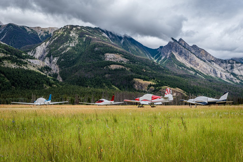
With weather, limited flights and long distances, gravel runways at remote airports — particularly in Northern Canada — are difficult to get to, let alone to inspect for safety.
So Northeastern University researcher Michal Aibin and his team have developed a more thorough, safer and faster way to inspect such runways using drones, computer vision and artificial intelligence.
“Basically, what you do is you start the drone, you collect the data and — with coffee in your hand — you can inspect the entire runway,” says Aibin, visiting associate teaching professor of computer science at Northeastern’s Vancouver campus.

There are over 100 airports in Canada that are considered remote, Aibin says, meaning that they have no road or standard means of transportation leading to them. Thus, nearby communities’ food, medicine and other supplies all come by air.
The airports also predominantly feature gravel rather than asphalt runways, making them particularly susceptible to the elements.
But safety inspections are difficult. Engineers who inspect the remote airports must schedule a long flight, often during a narrow window of time dependent on the seasons, weather conditions and more.
Featured Posts


A new, more reliable and less time-consuming method was needed.
So, Aibin worked with Northeastern associate teaching professor Lino Coria and student researchers to identify several types of defects for gravel runways, such as surface water pooling, encroaching vegetation, and smoothness defects like frost heaves, potholes and random large rocks.
Collaborating with Transport Canada (the Canadian government’s department of transportation) and Spexi Geospatial Inc., the researchers used computer vision and artificial intelligence to analyze drone images of remote runways in order to detect, characterize and classify defects.
“Our biggest novelty is we take all the images of the runway and we assess all the defects — like there’s some rocks, there’s maybe a hole, there’s maybe some aspects that are not initially visible to the human eye,” Aibin says.
The result, published in the MDPI journal Drones, is a new procedure for inspecting airport runways using high-resolution photos taken from remote-controlled, commercially available drones and high powered computing. The new method proved effective when demonstrated at several remote airports, Aibin says.
The process doesn’t totally eliminate humans — a person must fly the drone and evaluate the computer analysis, Aibin notes (although those tasks can be done remotely). But Aibin says the method saves time, reduces the need for inspectors on site, and makes inspecting a remote gravel runway a much less onerous task.
Aibin says that the next step is providing more real-world applications to test the new method. But he sees the method being expanded beyond remote Canada into other remote sections of the world such as in Australia and New Zealand.
“The need to fly an engineer to the site is no longer needed, which was the ultimate goal,” Aibin says. “As long as someone can fly a drone and take images, then it can be sent in the form of a report to speed up the process.”


