A Northeastern professor is using aquatic drones to measure how quickly icebergs are melting

Share

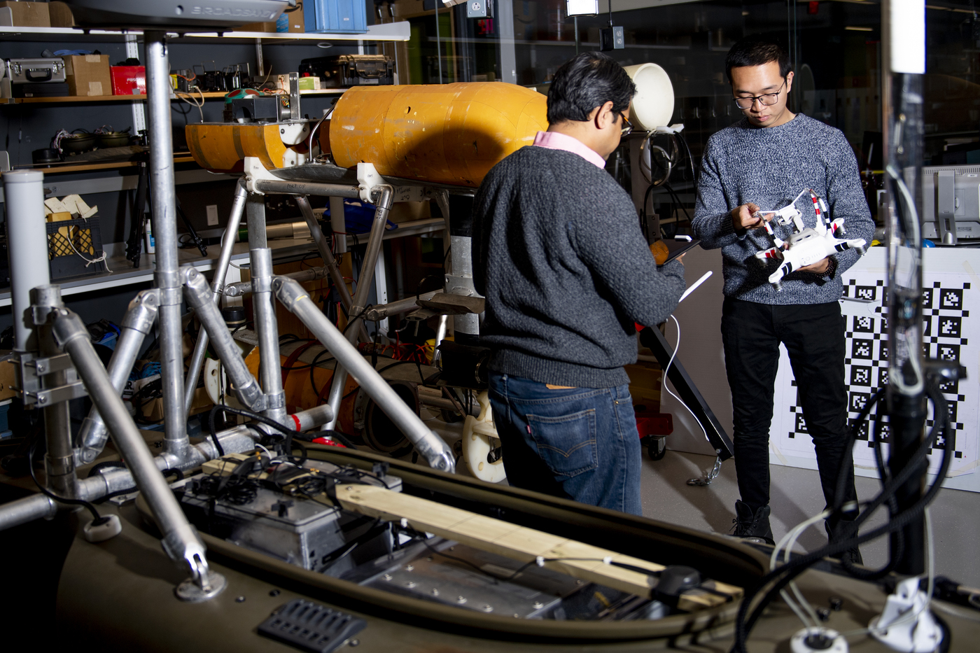
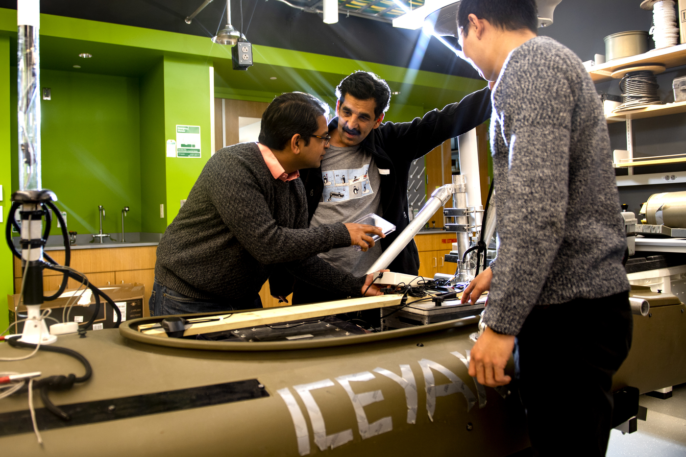
It’s a drone, it’s a kayak, it’s a Jetyak.
Floating in the frigid waters off Greenland, Hanumant Singh’s aquatic, autonomous vehicle is, by all appearances, a regular, gas-powered kayak waiting for someone to hop inside. But the sensor-strapped drone is much more than that. The Jetyak has become a frontline worker in scientific efforts to better understand the effects of climate change and the toll it’s taking on the planet’s oceans.
With icebergs increasingly breaking off of Greenland’s icecaps due to climate change, the region has increasingly become an area of focus for climate scientists. But until recently it’s been hard to measure how quickly these massive chunks of ice are melting and impacting the oceans.
That’s where Singh, an electrical and computer engineering professor at Northeastern University, and his Jetyak come in. Strapped with sensors, the Jetyak has been creating detailed 3D maps of icebergs in Greenland’s Sermilik Fjord with the intent of giving climate scientists a clearer picture.
“You can see how things are changing over the course of months or years, but we are really interested in saying, ‘What are the phenomena on the ground?’” Singh says.
Understanding those phenomena is vitally important for climate scientists. Warmer oceanic water has been creeping into Greenland’s fjords and up toward the glaciers, causing them to melt from beneath. Melting freshwater entering the ocean will have dramatic effects on the way water circulates around the world, impacting ecosystems the world over.
“We are imaging people, and [climate scientists] were using our robot for doing CTDs–– conductivity, temperature and depth [tests],” Singh says. “We’re trying to see how this oceanic sea water is approaching and how the cold water, which is meltwater off the iceberg, is interacting with the waters around it.”
The boat that serves as the foundation for the Jetyak is 11 feet long and weighs 165 pounds but carries a hardware payload of 360 pounds. It can move up to 20 miles per hour and run for eight to 10 hours on 3 gallons of gas.
In 2013, Singh used an early prototype to measure freshwater flow near Greenland’s glaciers. During that trip, he saw another group of scientists who were using a helicopter to land on icebergs and install GPS moorings to measure the changing height of icebergs as they melt. Watching the danger they were putting themselves in, he thought, “There has to be a better, safer way to capture this data.”
Signh returned in 2014 to start using the Jetyak to map those icebergs. Singh’s trip in 2014 was such a success that he has been back several times since then to take additional measurements.
The danger involved with this work is hard to overstate. Even the “relatively small” chunks of ice Singh and his team are mapping can be 6 miles across and 300 feet tall. Any piece that falls off poses a massive risk to anyone working on or near the iceberg. There’s a reason the Jetyak is relatively inexpensive and replaceable by design.
“Originally the idea was, ‘Let’s go and see if we can map these and let’s do it with a robot, so if a chunk of ice falls down on a robot, nobody gets hurt but we still get the data,’” Singh says. “We had to make the robot inexpensive, so that if we lose it, that’s fine.”
But there were other technical challenges that Singh and his team faced when trying to design the vehicle.
Understanding how quickly these massive chunks of ice are melting means taking images and readings over an extended period of time. That’s not easy when you’re trying to map massive objects like icebergs that can move upwards of 6 miles in a day. Mapping objects in motion is already a common pitfall for robots and drones. Mapping objects in low contrast environments, like an iceberg in Greenland where the object and its surroundings are mostly the same color, isn’t any easier.
Singh and his team had to create their own algorithm that allows the Jetyak to move around the iceberg, capture data and account for its movement.
“One of the … things we have to do to make sure we make a good map is to estimate the velocity and rotation of the iceberg,” Singh says. “That’s also a measurement that we can compare against our GPS.”
The maps produced by the Jetyak provide an unprecedented level of detail and accuracy. With all the data collected by Singh’s aquatic drone, he says they are now able to look at before and after images of the iceberg as it has melted. The full results will be published in a paper later this year.
“You can see all these channels, which is where most of the mass loss is happening, and you can actually see the qualitative effects of the phenomena that they think about that are responsible for iceberg melt,” Singh says. “Icebergs don’t just melt like an ice cube in water.”
Singh is hopeful the Jetyak can also be a vital part of other research efforts as well. They are already being used to perform chemical sensing and measure sediment transport. Singh even used a Jetyak to map and measure the impact of Hurricane Sandy on Fire Island off the coast of New York.
“We want to work on problems that have significant social relevance,” Singh says. “While we’re doing that, we’re also trying to solve hard engineering problems that come with it.”
Cody Mello-Klein is a Northeastern Global News reporter. Email him at c.mello-klein@northeastern.edu. Follow him on Twitter @Proelectioneer.