Northeastern and MIT researchers pledge to unlock power of cellphone-generated mobility data to benefit neighborhoods

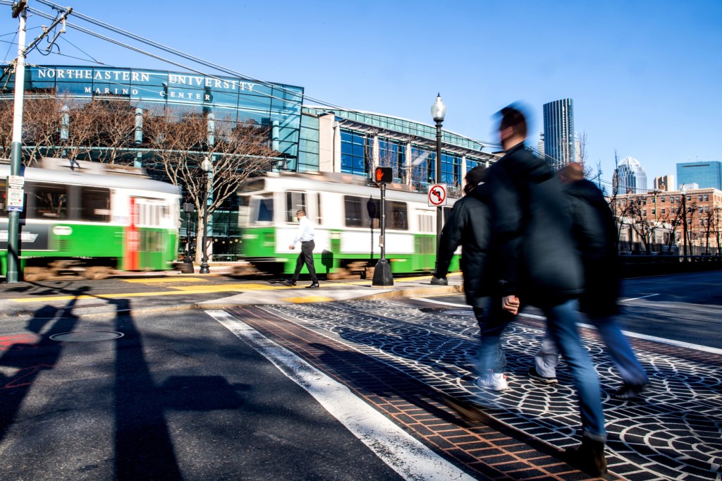
In a joint effort funded by the National Science Foundation, scientists from Northeastern University and Massachusetts Institute of Technology plan to build a public mobility data platform for the Boston area that will help neighborhoods and communities use cellphone-generated data to address issues of social equity, racial and socioeconomic segregation, economic development and climate resilience.
The COVID-19 pandemic and contact tracing demonstrated that cellphone-generated mobility data can be essential for understanding how people move around and interact with society on a daily basis. However, these cutting-edge data have been accessible to only a handful of data scientists as they are both very complex and sensitive.

The new initiative called Mobility Data for Communities, or MD4C, of Northeastern’s Boston Area Research Initiative, Burnes Center for Social Impact and MIT’s Human Dynamics Lab aims to change that.
“Our goal is to take those data [and] not only advance the science on them, but advance that science in conversation with community stakeholders, with policymakers, with practitioners, with community based organizations, and have them tell us, ‘Here is how we think these data could be interesting,’” says Daniel O’Brien, principal investigator on this project, director of the Boston Area Research Initiative and associate professor of public policy and urban affairs and criminology and criminal justice at Northeastern.
The idea for the project came up in discussions with Alex Pentland, professor of media arts and sciences and director of MIT Connection Science, and Esteban Moro Egido, visiting professor at the MIT Media Lab and associate professor at the Universidad Carlos III de Madrid in Spain, about the ways the two teams that have shared research interests could create a public impact, O’Brien says. Together they were able to secure a nearly $1 million grant from NSF to build the platform over the next three years.
“I think the complementarity between Dan’s team and our team is fantastic,” Moro says.
Both teams have extensive experience with applying data science to social questions, O’Brien says. While the MIT’s team’s strong suit is mobility data and data privacy, BARI and O’Brien deliver experience in social partnerships and civic data.
For the project, the researchers are partnering up with two companies that collect cellphone mobility data through a variety of techniques after users specifically opt-in to share their data for commercial purposes.
“We access the data through a completely privacy preserving platform,” Moro says. “We do look at individual data, but we publish or analyze aggregate results.”
Mobility data is typically collected, compiled and sold by companies for the use of other companies, Moro says. These data can be used for retail purposes, for example, to estimate how many people go to a specific retail location or how many of them are actually making a purchase on a given day.
“I think this is creating a little bit of asymmetry, because the communities which are actually producing this data are not benefiting from this,” Moro says.
MD4C will build a data infrastructure that will make patterns of movement across a region’s neighborhoods and places broadly accessible to users of varying levels of data literacy, O’Brien says. The researchers are hoping to produce new insights and useful data products that will help answer the questions of such stakeholders as researchers, policymakers, public officials and community organizations.
The three areas where the scientists see the greatest opportunity for impact with MD4C include racial and socioeconomic segregation, environmental justice and climate resiliency and economic development, O’Brien says.
Mobility data can be used to determine patterns of integration or segregation, he says, by looking at the ways people of different demographic backgrounds do and don’t go to the same places—like restaurants, parks and playgrounds—and do and don’t visit each other’s neighborhoods.
“And that actually builds really strongly on a bunch of work Esteban and his team have already been doing on trying to understand that phenomenon,” O’Brien says.
On the climate resilience side, the project will draw from the numerous studies on environmental justice that show which communities are exposed to environmental hazards like flooding, extreme heat or air pollution, for example.
“We are interested in the question of if you live in a community like that, that is under risk for one or more hazards, where do you go during the day? And are those places the same or different?” O’Brien says. “There is a lot of evidence, especially for COVID, that if you have hazards in your own community, you tend to go to other communities that have the same hazards. And so you are basically doubling or tripling your exposure, in some sense.”
Economic development is traditionally measured with such aggregate indicators as the income of a community or the number of businesses created within a community, Moro says. Mobility data can show the effects on economic output of diverse people visiting different areas, he says.
Moro is convinced that the most economic growth happens when entrepreneurs are in contact with others, he says, when the city provides them with tools to connect to someone with capital or ideas and creates initiatives across communities.
“During the last years, we have been working on accessing data about how people move around the city and what opportunities that people have beyond their neighborhoods,” Moro says. “With the mobility data and the data that we have, we can actually anticipate where the idea recreation is going to happen, where innovation is going to happen.”
To create a more resilient growth, cities need to integrate more and more different communities into economic activities, he says, instead of having one big company in the middle of the city or one innovative district.
The two technical challenges that the researchers will have to be careful about, Moro says, is privacy preservation and diminishing biases that arise from underrepresentation of some populations.
“We want to include everybody in the mobility data,” he says, explaining that oftentimes the most vulnerable populations get left out of the mobility data because they don’t have access to technology or don’t use it in the way that most people use the technology.
MD4C will be designed in collaboration with an advisory board of data scientists, public officials, and community stakeholders from Greater Boston, the researchers say, with plans to replicate it in other cities.
“Most, if not all, of the data sets we are going to work with can be measured nationally [and] can be accessed nationally,” O’Brien says.
While the researchers have already started planning and preparing resources for MD4C, the project will officially kick off on Jan. 1.
For media inquiries, please contact media@northeastern.edu.


