Is North America ready for the 2026 World Cup?

Thousands of people are expected to pour into Canadian, American, and Mexican cities for the 2026 World Cup—and Boston could be one of them. The security, transportation, and energy infrastructure in each host city will need to achieve peak performance to accommodate the influx, athletes, fans, and journalists. But are these critical systems up to the test? Two doctoral students at Northeastern have developed a tool that could help assess each city’s level of preparedness.
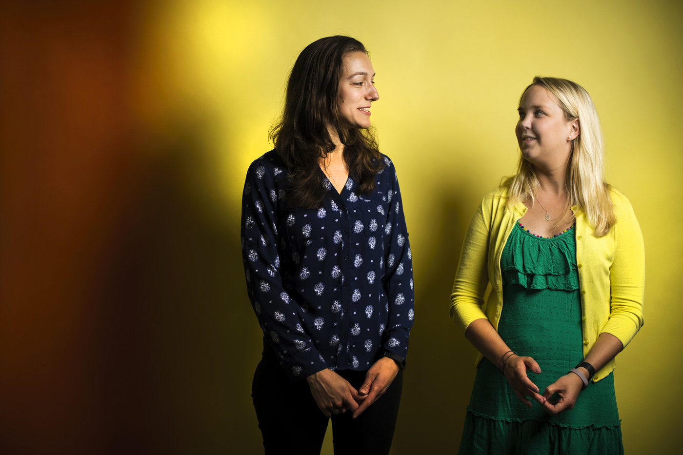
Maria Robson and Lizzy Warner, who work at the university’s Global Resilience Institute, have created an interactive map that illustrates how critical infrastructure in Boston—including the MBTA, the energy grid, and the water and sewer system—are connected to each other. Their map knits together existing charts for each system to provide a comprehensive understanding of how they work together.
They have also created a software program that simulates disasters to show how the connections between these major systems respond to catastrophic events such as earthquakes, floods, and terrorist attacks.
For example, the software could predict how quickly the failure of the city’s electrical grid would impact the MBTA.
While the electrical grid and the MBTA rely upon each other, Warner said, their individual disaster plans exist in silos.
“What we’ve seen is this really widespread lack of understanding about how critical infrastructure work with each other,” said Robson, who is studying political science and security. “Our tool would help with anticipating the cascading impacts to other sectors if those ones were stressed beyond normal capacity.”
The students’ research recently won top prize at the Department of Homeland Security Centers of Excellence Summit, an annual conference highlighting defense and resilience work by students at the graduate and undergraduate levels.
What we’ve seen is this really widespread lack of understanding about how critical infrastructure work with each other. Our tool would help with anticipating the cascading impacts to other sectors if those ones were stressed beyond normal capacity.
Maria Robson, Doctoral Assistant at Northeastern’s Global Resilience Institute
Their map could help solve a range of complicated problems resulting from a natural disaster or terrorist attack. Or, for example, if the electricity in Boston goes out, the map could be used to help hospital officials determine how best to reallocate patients in order to squeeze the most out of their backup generators.
“The people making these decisions in a disaster scenario would need to know how Boston hospitals interact with each other as well as how they each interact with the electrical grid,” said Warner, who is studying engineering. “How do the buildings come back online once the power is restored? What sort of patient load can they handle in the meantime? These sorts of granular details are really important.”
Katherine Graham, a mechanical engineering major set to graduate in 2020, won the top prize for undergraduates at the DHS summit for her plan to redesign airport checkpoints. Graham’s model, which she created as part of a research project at Northeastern’s Center for Awareness and Localization of Explosives-Related Threats, would allow multiple people to walk simultaneously through checkpoints without stopping.