Architect turns littered underpass into thriving green space
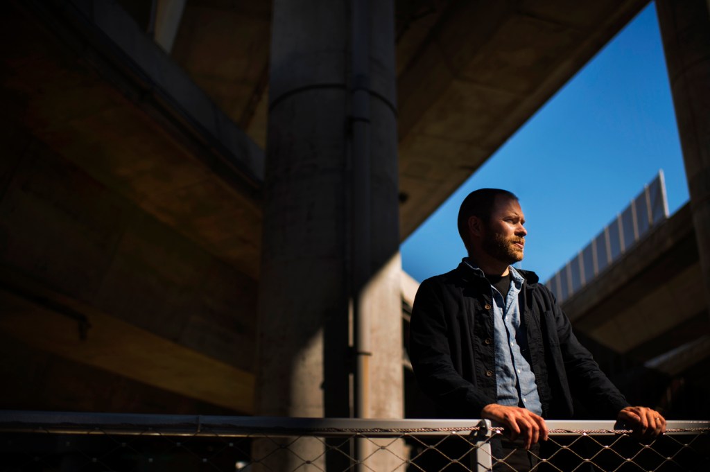
One of the first things you notice about the green space Dan Adams designed in the heart of the city is how peaceful it is. And solitude is hardly a given for a space situated in Boston’s Ink Block community, nestled under a web of Interstate 93 on- and off-ramps, neighboring train track junctures, and a waterway.
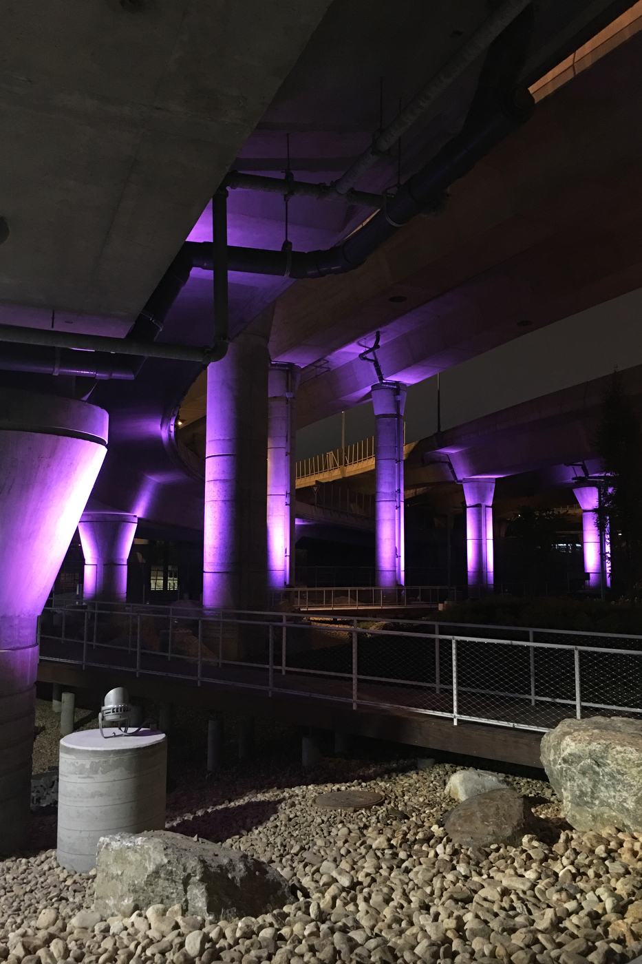
Photo courtesy of Dan Adams
Adams, associate professor of architecture and interim director of Northeastern’s School of Architecture, worked with a team of Northeastern graduates already hired at his local firm, Landing Studio, to tackle a formidable challenge: turning a litter-strewn, fenced-in, abandoned plot of land underneath one of Boston’s busiest freeways into a space that people will want to use. And doing it in a way that will be beneficial to the environment around it.
The project emerged a few years ago, when the Massachusetts Department of Transportation began to build parking lots under highway overpasses as a way to utilize the space and generate some income for the state. “Then the question became, ‘But what else?’” Adams explained. So, in 2013, MassDOT contacted Landing Studio to answer that question.
Turning ‘negative space’ into ‘accessible space’
Gesturing at the landscape one afternoon this month, Adams said, “This is a really critical area. We had to think about how we could use design to better connect these neighborhoods, how we could work in an area that’s split by this intense highway. We wanted to start connecting these communities and take something that had become a negative space and turn it into something more accessible.”
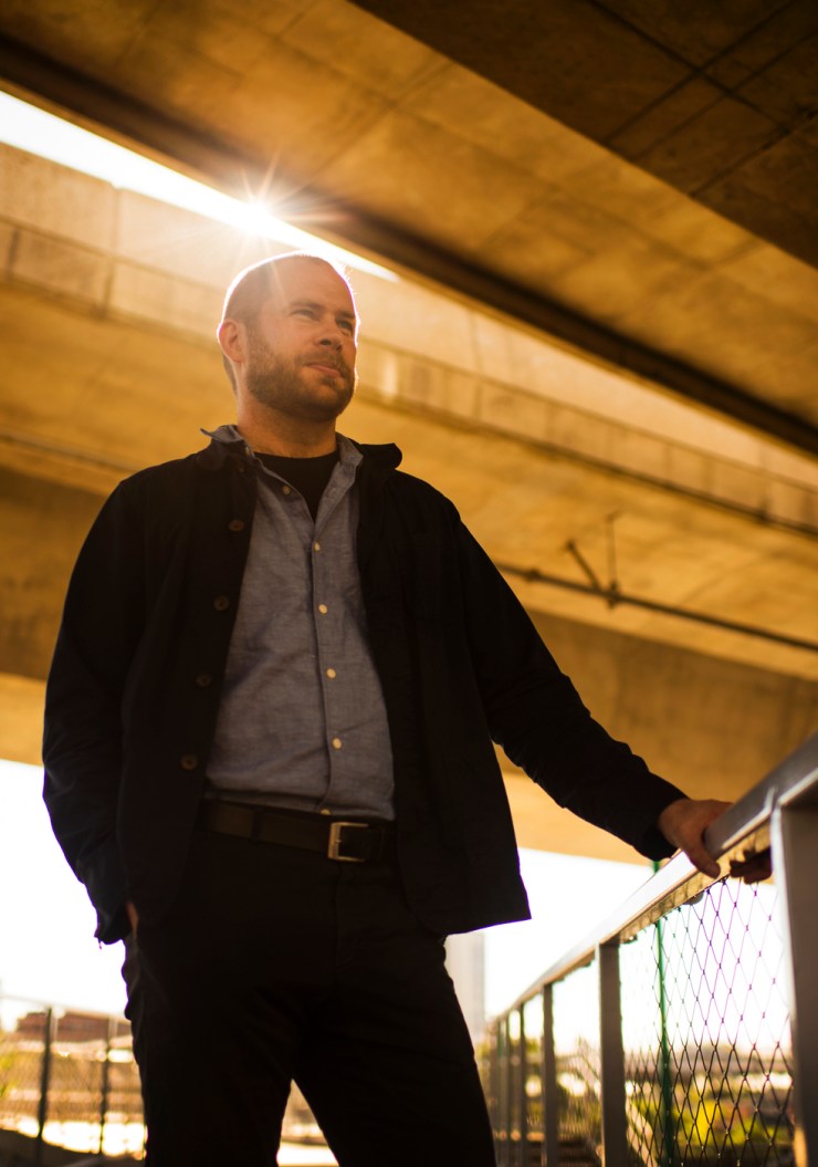
Photo by Adam Glanzman/Northeastern University
As Adams spoke, his point became immediately apparent. Airplanes coming and going from Logan International Airport thundered low in the sky. Automobiles rumbled across the congested overpass. Red Line trains rolled past. In the green space Adams and his team designed, however, all that falls away.
The goal for the space was two-fold. In addition to creating some connective tissue between the neighborhoods cleaved by I-93, Adams and his team also wanted to create a way to clean up the area’s water runoff, all of which drains into Fort Point Channel.
“We started thinking, ‘Could we actually do something to filter and evaporate the stormwater so we’re not putting all those contaminants—everything that’s draining off the highway—into the waterway?’” Adams said.
Further complicating the project was that the land was federally-owned, being developed by a state agency, and needed to comply with the myriad demands of being a MassDOT access point for maintaining and monitoring the highway overhead.
“The whole game here was how do you take transportation standards and redesign them to become a public space,” Adams said. “This is the thesis of our firm and of my teaching and really our approach in the School of Architecture—we’re interested in how designers can navigate complicated features through the design of architecture. Architects have to navigate politics, economics, business, engineering, water quality assurance, and more.”
Everything is more than meets the eye
The result is neither just a park nor just a MassDOT access point. A man-lift platform doubles as a basketball court. The landscaping works overtime as a water filtration system. Sculptural anchors installed in the green spaces can be used to support an open-air art gallery. Cement walls that support highway infrastructure also support colorful murals. Everything is more than meets the eye—and that’s the point.
The whole game here was how do you take transportation standards and redesign them to become a public space?
Dan Adams
Associate professor of architecture and interim director of Northeastern’s School of Architecture
“We believe an inherent quality of being urban is to be dense,” Adams said. “So, as opposed to thinking about a place like this being for only one thing, like traffic, it should be about many things: improving water quality, creating good access for pedestrians, opening up recreation space.”
The next project on the horizon for Adams is similar in design but larger in scope. With a team at his firm that includes a co-op student, several Northeastern graduates, and faculty in other disciplines—Nick Nelson in the College of Science
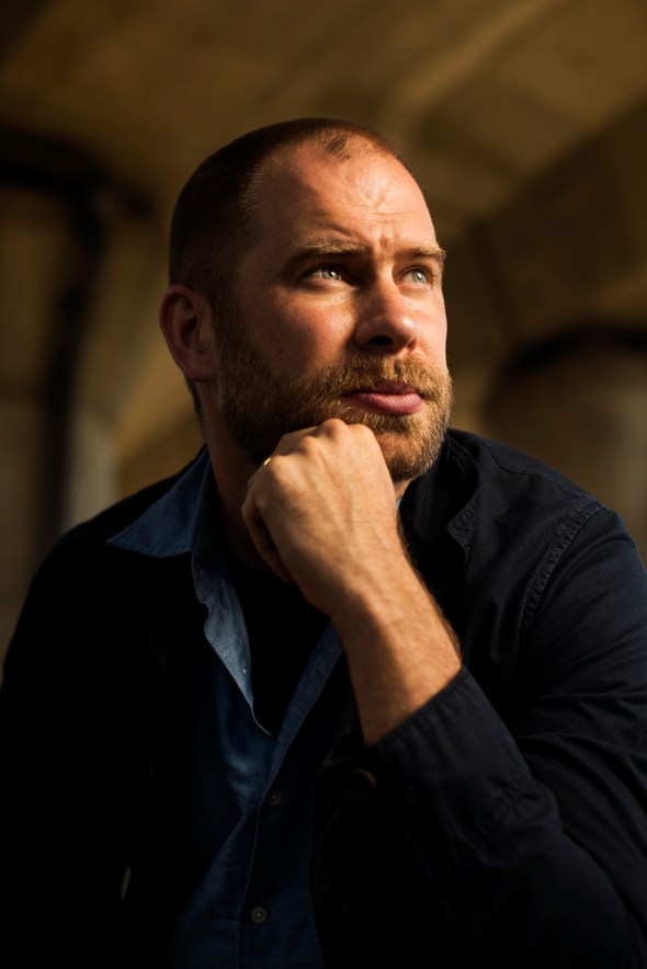
Photo by Adam Glanzman/Northeastern University
and Peter Furth in the College of Engineering—Adams is working on redesigning Charlesgate, an area that connects Commonwealth Avenue, the Emerald Necklace, and the Charles River Esplanade.
Charlesgate suffers from a similar problem as the space at Ink Block—it’s an underutilized piece of land that’s buried by a highway. But what sets Charlesgate apart is that it’s part of the Emerald Necklace—a string of parks designed by famous landscape architect Frederick Law Olmsted, whose designs became so popular that they’re named after him: Central Park in New York City and the
Emerald Necklace are both “Olmsted Parks.”
“It’s going to be a really interesting community partnership to redesign what is really a crazy landscape,” Adams said. “Boston’s three most important park systems are tied together by that one link and they plunked a highway on top of it.”
