What to expect from La Niña this winter
Will La Niña bring more snow or rain to your region this winter?

A new La Niña has developed this fall and will persist into winter, according to federal weather forecasters.
What this will mean for snowy and stormy conditions varies by region, says Northeastern University professor Samuel Munoz.
“During La Niña winters, the western U.S. and upper Midwest tend to be cooler and wetter than average,” he says. “The southeastern U.S. tends to be drier and warmer than average.”
The National Weather Service’s Climate Prediction Center says La Niña conditions emerged in September and are likely to extend through December and into February.
This could mean good news for skiers in some parts of the U.S., with the emphasis on “could.”
“In general, La Niña winters are associated with more snowfall in the northern Rockies, Pacific Northwest and Midwest,” says Munoz, an associate professor of marine and environmental sciences and of civil and environmental engineering.
In the Northeast, La Niña has less impact.
Still, “there are a lot of processes at play that dictate what the winter will look like,” Munoz says.
National weather officials say they expect the current La Niña event to remain on the weak side, meaning it “would be less likely to result in conventional winter impacts.”

“Not every La Niña event is the same,” Munoz says. “It just changes the probabilities of having a warmer or colder, wetter or drier, winter than usual — depending on what region you are in.”
The creation of La Niña
La Niña is part of a climate pattern in the Pacific Ocean known as the El Niño-Southern Oscillation (ENSO) cycle that can affect weather worldwide, according to the National Atmospheric and Oceanic Administration.
Northeastern Global News, in your inbox.
Sign up for NGN’s daily newsletter for news, discovery and analysis from around the world.

A La Niña event is the opposite of an El Niño, which occurs when trade winds that normally blow west along the equator weaken.
Warm water that normally is pushed from South America toward Asia instead laps back east toward the west coast of South America during El Niño.
It was a phenomenon noted centuries ago by fishermen who named the event El Niño de Navidad after the Christ child — niño is child in Spanish — because it tends to peak around December.
A reverse situation occurs with La Niña, which means little girl in Spanish.

During La Niña, trade winds that are stronger than usual push more warm water toward Asia, causing an upwelling of cold water to come to the surface of the Pacific off South America.
“These cold waters in the Pacific push the jet stream northward,” NOAA says. “This tends to lead to drought in the southern U.S. and heavy rains and flooding in the Pacific Northwest and Canada.”
“During a La Niña year, winter temperatures are warmer than normal in the South and cooler in the North,” according to the federal agency.
Editor’s Picks


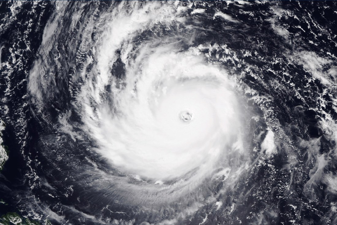
Hurricane risk
The regions are divided by the jet stream, a fast-moving ribbon of air that moves through the upper atmosphere in the Northern and Southern hemispheres and is pushed in different directions by El Niño and La Niña, Munoz says.
He says La Niña affects climate conditions in parts of Africa and Asia, but not so much Europe or the New England states, which are more impacted by Atlantic Ocean weather patterns.
La Niña can lead to the development of more Atlantic hurricanes, Munoz says. But that doesn’t seem to be the case this year — for the first time in 10 years no hurricanes have yet made landfall in the U.S.
There is still time for them to form, however, since hurricane season doesn’t end until Nov. 30.
Back to neutral
Weather forecasters predict La Niña conditions will shift to “ENSO neutral” by March.
Neutral is the weather pattern outside of La Niña and El Niño swings, when trade winds blow west at normal intensity along the equator in the Pacific Ocean.
“Beyond that is really difficult to predict at this point,” Munoz says. “Forecasting ENSO remains a major challenge for meteorology and climatology.”