Natural shoreline barriers on US coasts play a key role in protecting coastal communities from storms like Hurricane Dorian

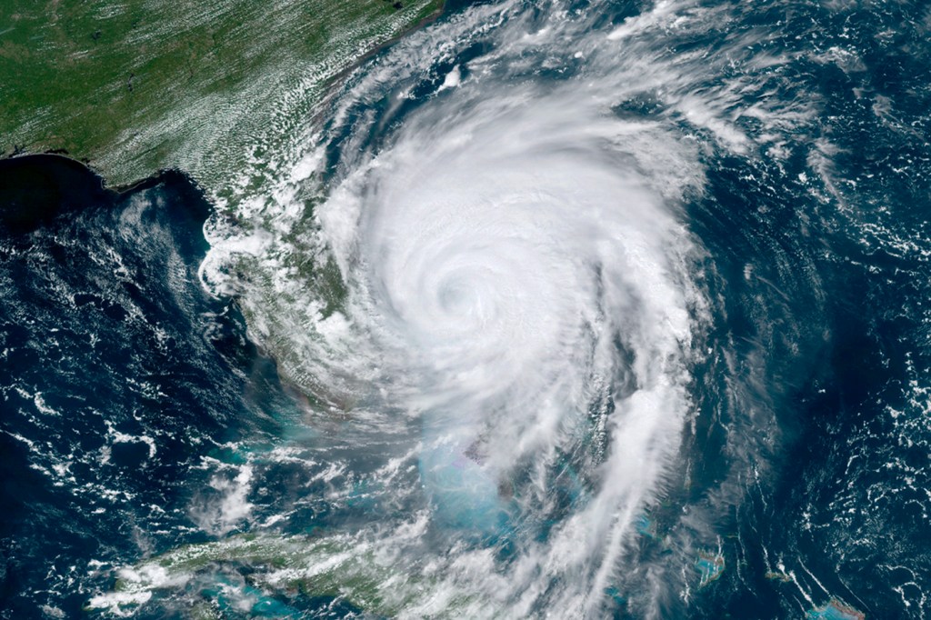
Hurricane Dorian’s outer band continued to lash Florida’s central coast Wednesday morning, and the National Hurricane Center reported that the storm is expected to track north along the East Coast, with the storm’s center possibly making landfall in coastal South Carolina on Thursday or eastern North Carolina on Friday. After Dorian hit the Abacos Islands earlier this week as a Category 5 hurricane, it was downgraded to a still-dangerous Category 2 hurricane packing powerful winds and generating catastrophic storm surges that slammed into the Bahamas, where the death toll rose to 20 people on Thursday.
Because of the many variables that go into computer modeling for hurricane forecasts, the exact path of a hurricane is extremely difficult to predict. But even if Dorian does not make landfall in the U.S., the storm will create dangerous conditions along the coast. The National Hurricane Center expects up to seven feet of storm flooding in coastal Florida, Georgia, and South Carolina.

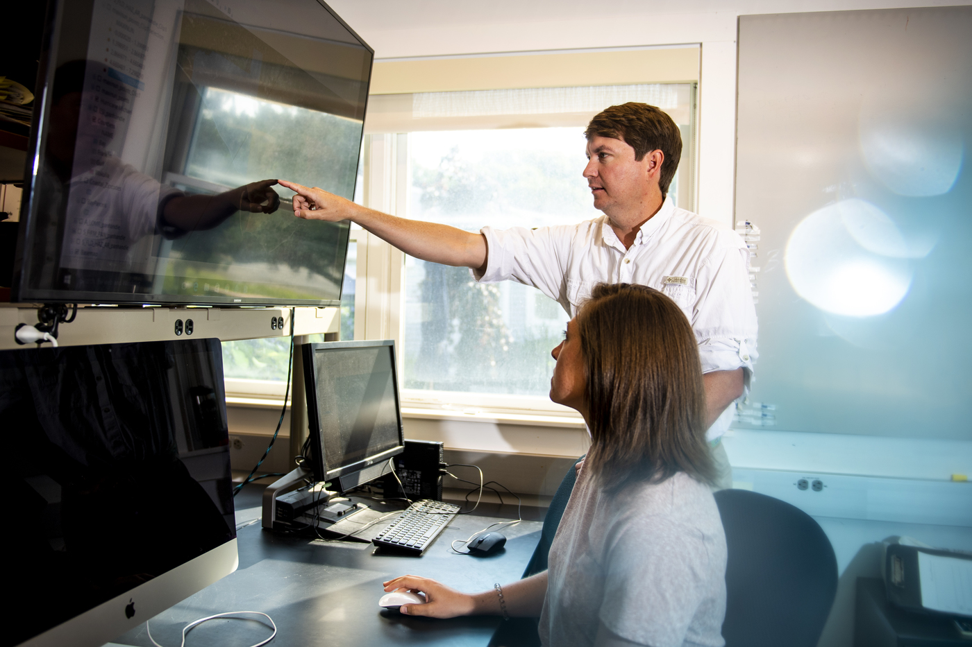
Steven Scyphers, an assistant professor of marine and environmental sciences at Northeastern, runs the Social-Ecological Sustainability Lab. His research includes studying coastlines and coastal societies, with a focus on natural barrier habitats. Photo by Ruby Wallau/Northeastern University
As Florida braced for the storm using engineered shorelines to protect from flooding, what may play a key role in buffering some of the flood damage for coastal residents are natural shoreline barriers such as marshes, mangroves, and dunes, says Steven Scyphers, an assistant professor of marine and environmental sciences at Northeastern.
“With our work in the Florida Keys after Hurricane Irma, one thing we found was that coastal residents who had shorelines with natural mangroves typically experienced similar or less damage than folks who would transform the shorelines with bulkheads or seawalls,” says Scyphers, who studies people’s interactions with the environment along coastlines. “In places where natural habitats can still persist, it’s a really important part of a comprehensive strategy for reducing risk.”
The National Hurricane Center on Wednesday morning issued hurricane, storm surge, and tropical storm watches and warnings for the coasts of Florida, Georgia, South Carolina, and North Carolina. Dorian also is expected to bring dangerous winds and rain to southeastern Virginia through Friday.
Scyphers says one of the main concerns as climate change fuels more intense hurricanes is that substantial segments of U.S. shores that were naturally vegetated with marshes or mangroves have been lost to residential development.
“There’s a really important role in maintaining nature and restoring ecosystems for this risk that we have along the coast,” he says. “The shoreline is a small piece of the impact from a storm, but it can also be one that has a lot of connections.”
Habitats such as mangroves are well equipped to act as barriers and survive these types of intense storms, often restoring themselves after severe events. That’s important for buffering storm surges, which are sometimes considered the deadliest danger from hurricanes for coastal residents.
“Mangroves can be 15 to 16 feet high, and they are basically very dense, almost forest-like barriers that get in the way of the flow of energy and wind,” Scyphers says.
Although these natural barriers won’t stop a hurricane’s devastating force, they play a crucial role in reducing risk for communities where hurricanes are common. Natural barriers are now more than ever an important topic of discussion between scientists and policymakers who work on coastal resilience, Scyphers says.
“That’s not the way we’ve always done it, as we’ve traditionally relied on building hard infrastructure, which some places, like cities, will always need,” he says. “Considering the vulnerability of coastal communities to storms, it’s really important to look back at what we are doing to identify what works and what we can do differently.”
Many climate models predict more intense and more-rapidly intensifying hurricanes over the next 100 years because of the increasing temperature of the Atlantic. This ability to intensify rapidly is something we have seen in recent years, and 2019 marks the fourth consecutive year that a Category 5 hurricane has formed in the Atlantic.
It’s definitely a concern for people like Katherine Castagno, a joint Northeastern and Nature Conservancy postdoctoral fellow who studies how hurricanes have affected coastal systems over the past 2,000 years. Forecasters say it’s the first time a Category 5 hurricane has been generated in four consecutive years in the Atlantic since satellites started tracking storms in the 1960s.
“If you have warmer and warmer water temperatures over where your hurricanes are more likely to form, then you have more energy for those storms to be generated and travel,” says Castagno, a postdoctoral fellow in the Social-Ecological Sustainability Laboratory, which is led by Scyphers. “We have seen this in the 2017 Atlantic hurricane season with Irma and Maria, where we have huge storms that are much more intense than what we’re used to.”
Dorian’s winds devastated infrastructure in the Bahamas, and storm surges rose as high as 18 feet. At the height of its strength, the storm was the second-most powerful Atlantic hurricane on record, and is expected to follow a path that will expose a large geographic area to hurricane-force winds along the East Coast.
“It’s scary to think that the tragic impacts of these storms will continue as we see more and more of these intense storms,” Castagno says.
For media inquiries, please contact media@northeastern.edu.


