How to find Mayan ruins while sitting at your laptop
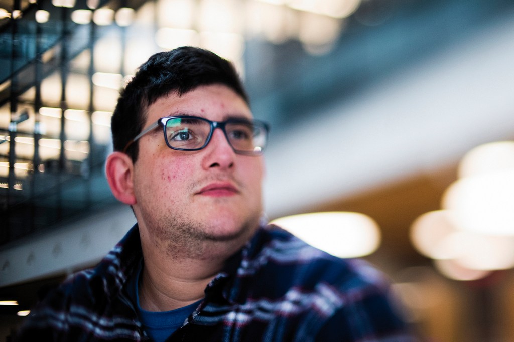
In the summer of 2014, Matthew Cardona was standing in a shed near his father’s childhood home in Guatemala. The walls were lined with boxes and buckets filled with recently unearthed Mayan artifacts. He was shown intricate pottery and obsidian masks and knives. The items were being packed up and moved off site.
“I was kind of nervous,” Cardona said. “I never knew where they got it from, but I knew it came from the surrounding valley.”
Cardona, now a master’s student in geospatial services at Northeastern, was able to investigate the origin of these artifacts as part of a class on remote sensing for archaeology in the spring of 2018. Looking through satellite images on his laptop, he started noticing unusual shapes in the landscape that he believed to be undiscovered Mayan ruins near his extended family’s farm in southeastern Guatemala.
“I started realizing these hills, they didn’t look natural,” Cardona said. “They looked like they were put there by somebody.”
When Cardona presented his preliminary findings to the class, Cordula Robinson, his professor, was somewhat skeptical.
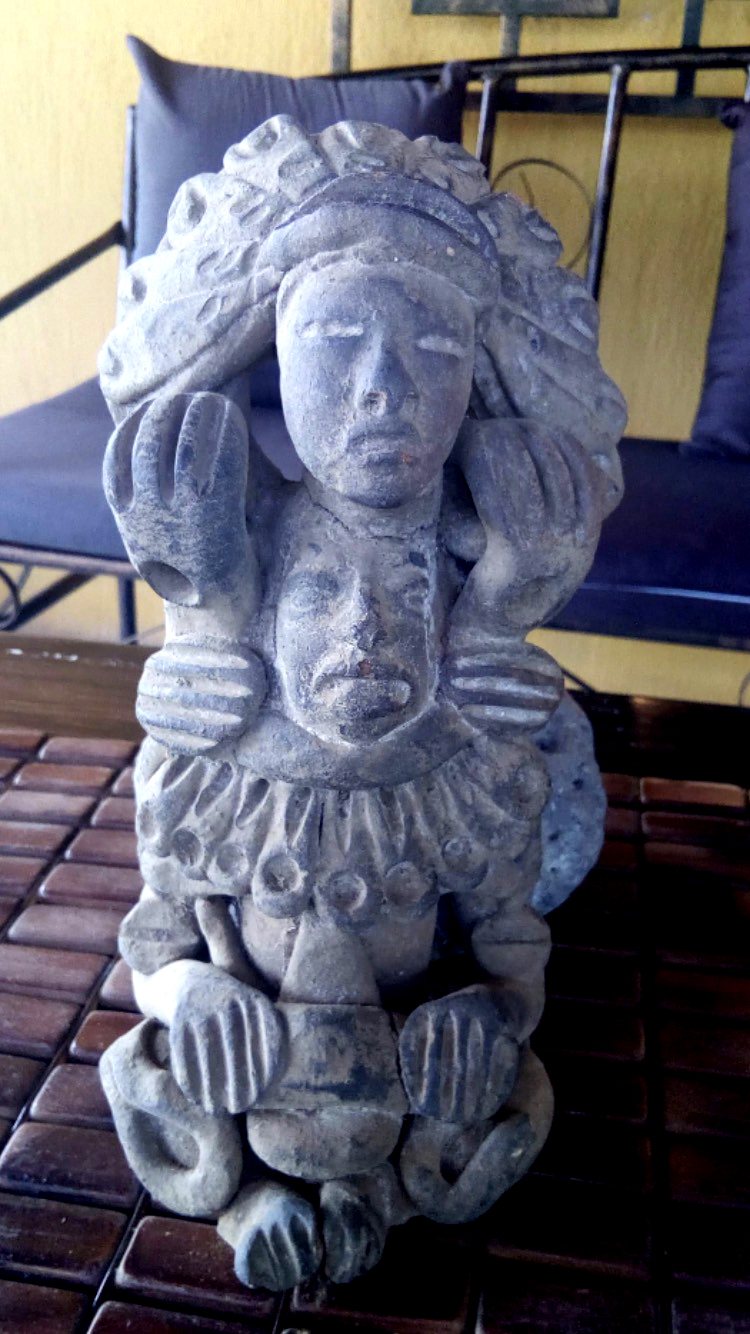
One of a number of relics that have been unearthed near the Cardona family homestead in Guatemala. Photo courtesy of Matthew Cardona.
“He thought he found something incredible,” said Robinson, who leads the geospatial services program in the College of Professional Studies. “I was less convinced by his results, but I wasn’t unconvinced by his enthusiasm. He really seemed so committed and earnest and full of dreams. He wanted to pursue this.”
Robinson recruited two other graduate students in geospatial services, Rebecca Greber and Elizabeth Krueger, to join Cardona for an independent study focusing on Mayan archaeology. Krueger had a master’s degree in maritime archaeology, and Greber had experience on archaeological digs in Europe and the United States, as well background knowledge of Mayan culture.
The group pulled data and images from Google Earth Engine, an online repository of satellite and other remote-sensing data going back to the 1970s, to search the area for signs of ancient Mayan sites.
Some of those signs were hidden in plain sight. The terrain in southern Guatemala is rugged and hilly, a product of the Sierra Madre mountain range that runs through the region. By overlaying maps of these changes in elevation with satellite imagery, the group could create three-dimensional maps of the landscape, and look for hills that seemed too regular to occur naturally. Those features could be the remains of Mayan pyramids or other architecture, buried under layers of dirt and vegetation.
“Using different satellite images, you can go back a couple years and see if something persists, and see how it looks through different times of the year,” Cardona said. “It’s like looking back in time.”
For other evidence, they had to look at the soil itself. Satellites capture more of the electromagnetic spectrum than the human eye can perceive. Different electromagnetic signatures can indicate different soil composition. The group looked for unexpected areas of clay or iron that might be the result of Mayan settlements.
They also scanned the crops in the area. Farmed fields are typically very uniform, but variations in the soil can distribute water unevenly, causing some plants to grow better than others.
“If there’s suddenly a really weird pattern in the middle of a field that doesn’t connect with any of the farming activities, it can indicate there might be some kind of structure in the near surface,” Robinson said, recalling archaeological sites found in England and Ireland during a summer drought.
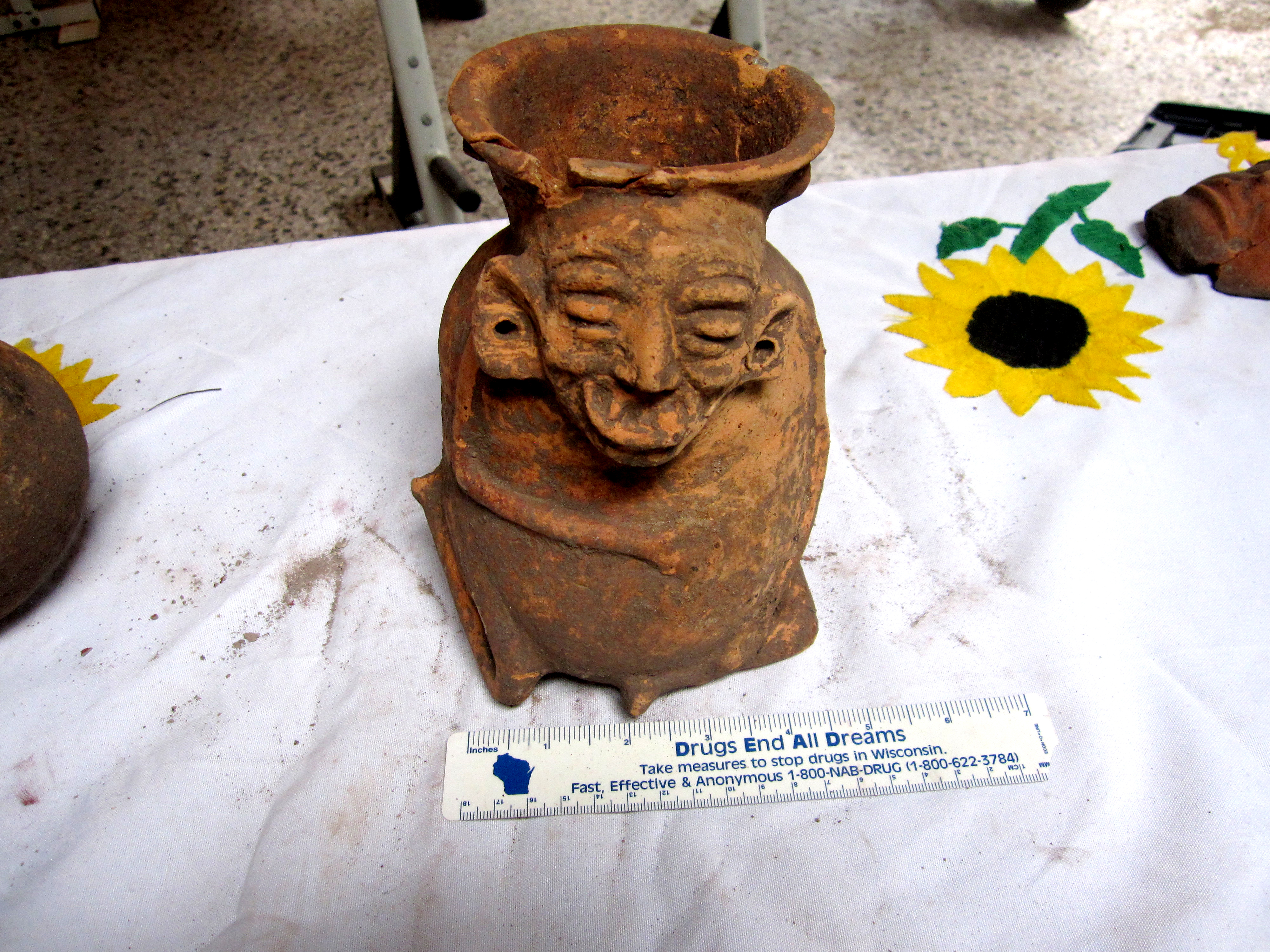
One of a number of relics that have been unearthed near the Cardona family homestead in Guatemala. Photo courtesy of Matthew Cardona.
In their study area, which stretched 14 miles east to west and eight miles north to south, the group found eight “features of interest” that matched up with well-known aspects of Mayan architecture: pyramids, large rectangular courts for playing ball games, and causeways. Cardona presented the findings at Draper Laboratory, where he works, and the group is in the process of publishing a paper in a journal that focuses on using remote sensing to study cultural heritage sites.
“There’s a lot more work that could be done, and it could be done in a lot more depth and detail, but this is a first step,” Robinson said. “We’ll see where it takes us next.”
The group hopes to be able to travel to Guatemala to confirm its findings in person, by conducting surveys using aerial drones or eventually excavating some of the sites.
“I want to establish that these sites are known, so they can be protected,” Cardona said.
For media inquiries, please contact media@northeastern.edu.
